After a long wait of 11 years, Google has finally re-launched Street View in India after following necessary policy requirements. In order to be compliant with government regulations, Google has partnered with local companies like Tech Mahindra and Genesys International for mapping and tech delivery to end users. Of course, this means that you won’t get to see the cool Google Street View cars that travel in the US. Instead, Google India’s partner Tech Mahindra has got a new innovative and cost effective solution– use auto rickshaws to capture mapping data.
WATCH VIDEO: How To Use Google Street View
Anand Mahindra, chairperson of Mahindra and Mahindra, took to Twitter to share an image of the ‘desi’ Street View ‘car’ and said, “A Mahindra 3W commissioned by Mahindra Logistics for a project by Tech Mahindra to build and license street view data to Google. That’s what I call Group synergy!”
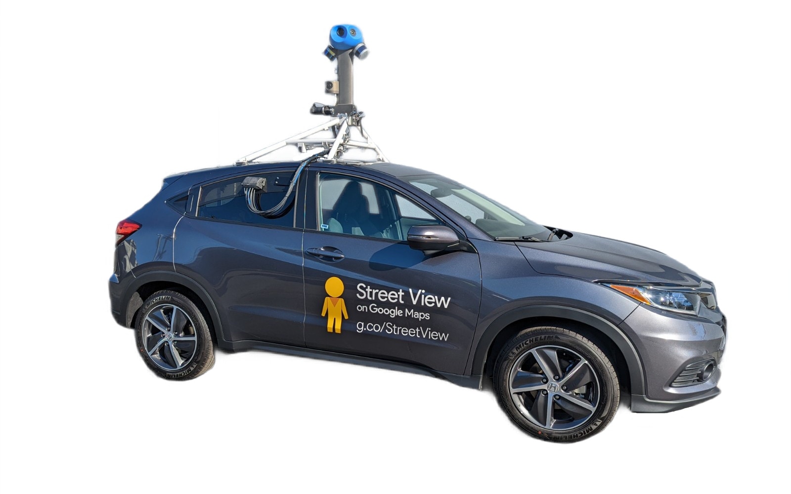
This is how a Google Street View car looks like in the US
It is the camera, GPS location tags and other equipment on top of the vehicle that matters. So, a fancy car or even an auto rickshaw (in this case) can do the job. Having said that, there’s little information as to whether Mahindra is only using 3-wheelers to map Street View data. It may be possible that the company may choose to opt for different vehicles depending on the region and road condition.
A Mahindra 3W commissioned by Mahindra Logistics for a project by Tech Mahindra to build and license street view data to Google. That’s what I call Group synergy! pic.twitter.com/lt4iHVKM6Z
— anand mahindra (@anandmahindra) July 28, 2022
Google said that its partners for Street View have covered over 150,000 km spanning 10 cities in India, including Bengaluru, Chennai, Delhi, Mumbai, Hyderabad, Pune, Nashik, Vadodara, Ahmednagar, and Amritsar. Google has plans to expand this to more than 50 cities by the end of 2022.
HOW TO USE STREET VIEW IN GOOGLE MAPS
– Open Google Maps on your smartphone or desktop
– Zoom into any road in cities where Street View is available
– Tap on the area to view in Street View
– You can also get a Street View of restaurants and cafes in the select cities
Read all the Latest News and Breaking News here